Flag states
MMSI flag states, decoded
Use the first three digits of a ship-station MMSI to look up its Maritime Identification Digits (MID): the block the ITU allocated to the registry that issued the number. Then see which vessels our shore-based AIS receivers have heard.
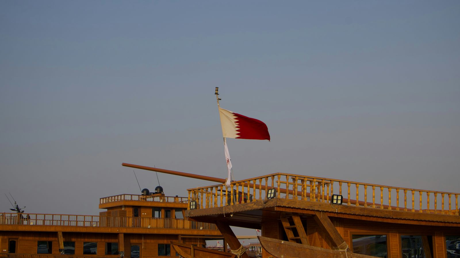
Photo: James Vito / Unsplash · source · Unsplash License
Reading the MID
The leading digit gives you the region at a glance. A large register gets several blocks, which is why some countries appear here with three or four MIDs.
Decode any MMSI: station type, MID and flag →
Learn how to read an MMSI, digit by digit →
Search vessel records by name, MMSI or IMO →
- 2xx
- Europe
- 3xx
- North and Central America, the Caribbean, Greenland
- 4xx
- Asia, including the Middle East
- 5xx
- Oceania and Southeast Asia
- 6xx
- Africa
- 7xx
- South America
When there is no flag
Several MMSI formats put the MID somewhere other than the first three digits — coast stations (00MID…), group calls (0MID…), SAR aircraft (111MID…), aids to navigation (99MID…) and emergency beacons (970/972/974…).
We refuse to show a flag for any of those and name the station type instead. A wrong flag is worse than an honest “this is a navigation buoy”.
In our store
208 flag states currently represented
Counts are vessels our receivers have heard, not the size of any national register.
- United States of AmericaMID 338, 366, 367, 368, 36935,556
- NetherlandsMID 244, 245, 24621,348
- United KingdomMID 232, 233, 234, 23515,254
- GermanyMID 211, 21813,868
- FranceMID 226, 227, 22813,547
- NorwayMID 257, 258, 2597,989
- IndonesiaMID 5257,912
- SwedenMID 265, 2666,211
- CanadaMID 3165,666
- SpainMID 224, 2255,631
- AustraliaMID 5035,472
- LiberiaMID 636, 6375,182
- PanamaMID 351, 352, 353, 354, 355, 356, 357, 370, 371, 372, 373, 3745,023
- Marshall IslandsMID 5384,885
- DenmarkMID 219, 2204,655
- ItalyMID 2474,324
- MaltaMID 215, 229, 248, 249, 2563,957
- ChinaMID 412, 413, 4143,736
- SingaporeMID 563, 564, 565, 5663,683
- JapanMID 431, 4323,615
- BelgiumMID 2053,468
- PolandMID 2612,508
- Hong KongMID 4772,255
- GreeceMID 237, 239, 240, 2412,095
- TurkeyMID 2712,073
- FinlandMID 2302,006
- Cayman IslandsMID 3191,786
- TaiwanMID 4161,624
- BrazilMID 7101,542
- BahamasMID 308, 309, 3111,384
- MadeiraMID 2551,299
- KoreaMID 440, 4411,211
- New ZealandMID 5121,181
- RussiaMID 2731,070
- Viet NamMID 5741,047
- CyprusMID 209, 210, 2121,038
- SwitzerlandMID 269988
- PortugalMID 263890
- CroatiaMID 238884
- IrelandMID 250753
- Antigua and BarbudaMID 304, 305739
- MalaysiaMID 533664
- IcelandMID 251654
- Argentine RepublicMID 701600
- AustriaMID 203571
- United Arab EmiratesMID 470, 471474
- South AfricaMID 601472
- Saint Kitts and NevisMID 341408
- Saint Vincent and the GrenadinesMID 375, 376, 377389
- BarbadosMID 314371
- British Virgin IslandsMID 378357
- Cook IslandsMID 518337
- Faroe IslandsMID 231337
- San MarinoMID 268332
- LuxembourgMID 253327
- JamaicaMID 339323
- IsraelMID 428320
- BulgariaMID 207311
- Sierra LeoneMID 667280
- ThailandMID 567271
- ColombiaMID 730254
- GibraltarMID 236254
- PalauMID 511254
- BelizeMID 312248
- MoroccoMID 242248
- EstoniaMID 276242
- ComorosMID 616, 620240
- NigeriaMID 657223
- PhilippinesMID 548207
- VanuatuMID 576, 577195
- BermudaMID 310178
- AlgeriaMID 605170
- Czech RepublicMID 270166
- AzoresMID 204160
- SloveniaMID 278160
- New CaledoniaMID 540140
- IndiaMID 419139
- AlaskaMID 303138
- LithuaniaMID 277133
- MonacoMID 254131
- TanzaniaMID 674, 677131
- LatviaMID 275130
- UruguayMID 770129
- EgyptMID 622127
- French PolynesiaMID 546122
- Guinea-BissauMID 630119
- Togolese RepublicMID 671114
- CameroonMID 613112
- ParaguayMID 755112
- HungaryMID 243105
- ChileMID 72599
- Slovak RepublicMID 26796
- MartiniqueMID 34794
- VenezuelaMID 77589
- MontenegroMID 26288
- TuvaluMID 57288
- Saudi ArabiaMID 40384
- DominicaMID 32578
- MongoliaMID 45777
- BangladeshMID 40574
- NamibiaMID 65972
- Sao Tome and PrincipeMID 66871
- IranMID 42269
- FijiMID 52063
- GuadeloupeMID 32962
- MexicoMID 34562
- Trinidad and TobagoMID 36260
- RomaniaMID 26459
- GreenlandMID 33155
- SenegalMID 66354
- Papua New GuineaMID 55353
- OmanMID 46145
- AlbaniaMID 20143
- Equatorial GuineaMID 63143
- GambiaMID 62942
- BoliviaMID 72037
- GeorgiaMID 21334
- Dominican RepublicMID 32732
- Qatar (State of)MID 46630
- LebanonMID 45029
- MauritiusMID 64528
- KiribatiMID 52924
- GuyanaMID 75023
- Falkland IslandsMID 74022
- AntillesMID 30621
- NiueMID 54221
- NicaraguaMID 35020
- AndorraMID 20219
- KazakhstanMID 43619
- Somali Democratic RepublicMID 66619
- LibyaMID 64218
- MauritaniaMID 65418
- SeychellesMID 66417
- Tunisian RepublicMID 67217
- UkraineMID 27217
- BahrainMID 40815
- NauruMID 54415
- LiechtensteinMID 25214
- Saint Pierre and MiquelonMID 36114
- Wallis and Futuna IslandsMID 57814
- AnguillaMID 30113
- TongaMID 57013
- HondurasMID 33412
- MozambiqueMID 65012
- AzerbaijanMID 42310
- Cabo VerdeMID 61710
- GrenadaMID 33010
- JordanMID 43810
- SamoaMID 56110
- Solomon IslandsMID 55710
- Sri LankaMID 41710
- KuwaitMID 4479
- AngolaMID 6038
- MaliMID 6498
- Pitcairn IslandMID 5558
- Brunei DarussalamMID 5087
- MadagascarMID 6477
- PakistanMID 4637
- ReunionMID 6607
- Gabonese RepublicMID 6266
- ArubaMID 3075
- CambodiaMID 514, 5155
- EthiopiaMID 6245
- GuineaMID 6325
- KenyaMID 6345
- Saint HelenaMID 6655
- Saint Paul and Amsterdam IslandsMID 6075
- SerbiaMID 2795
- GuatemalaMID 3324
- MalawiMID 6554
- PeruMID 7604
- BeninMID 6103
- BotswanaMID 6113
- Burkina FasoMID 6333
- CongoMID 6153
- Costa RicaMID 3213
- CubaMID 3233
- EcuadorMID 7353
- HaitiMID 3363
- IraqMID 4253
- Ivory CoastMID 6193
- MyanmarMID 5063
- Adelie LandMID 5012
- ArmeniaMID 2162
- BhutanMID 4102
- El SalvadorMID 3592
- MacedoniaMID 2742
- SudanMID 6622
- Syrian Arab RepublicMID 4682
- Vatican City StateMID 2082
- ZimbabweMID 6792
- AfghanistanMID 4011
- Ascension IslandMID 6081
- BelarusMID 2061
- BurundiMID 6091
- Central African RepublicMID 6121
- DjiboutiMID 6211
- GuianaMID 7451
- MacaoMID 4531
- MoldovaMID 2141
- MontserratMID 3481
- NigerMID 6561
- Northern Mariana IslandsMID 5361
- SwazilandMID 6691
- Timor-Leste (Democratic Republic of)MID 5501
- UgandaMID 6751
- United States Virgin IslandsMID 3791
- YemenMID 473, 4751
All other MID blocks28
- American Samoa 559
- Bosnia and Herzegovina 478
- Chad 670
- Christmas Island 516
- Cocos (Keeling) Islands 523
- Crozet Archipelago 618
- Democratic People's Republic of Korea 445
- Democratic Republic of the Congo 676
- Eritrea 625
- Ghana 627
- Kerguelen Islands 635
- Kyrgyz Republic 451
- Lao People's Democratic Republic 531
- Lesotho 644
- Maldives 455
- Micronesia 510
- Nepal 459
- Puerto Rico 358
- Rwanda 661
- Saint Lucia 343
- South Sudan 638
- State of Palestine 443
- Suriname 765
- Tajikistan 472
- Turkmenistan 434
- Turks and Caicos Islands 364
- Uzbekistan 437
- Zambia 678