Reading an MMSI: what the nine digits mean
An MMSI is not a serial number. Its first digits tell you the flag state, and some prefixes mean the transmitter is not a ship at all. Here is how to read one.
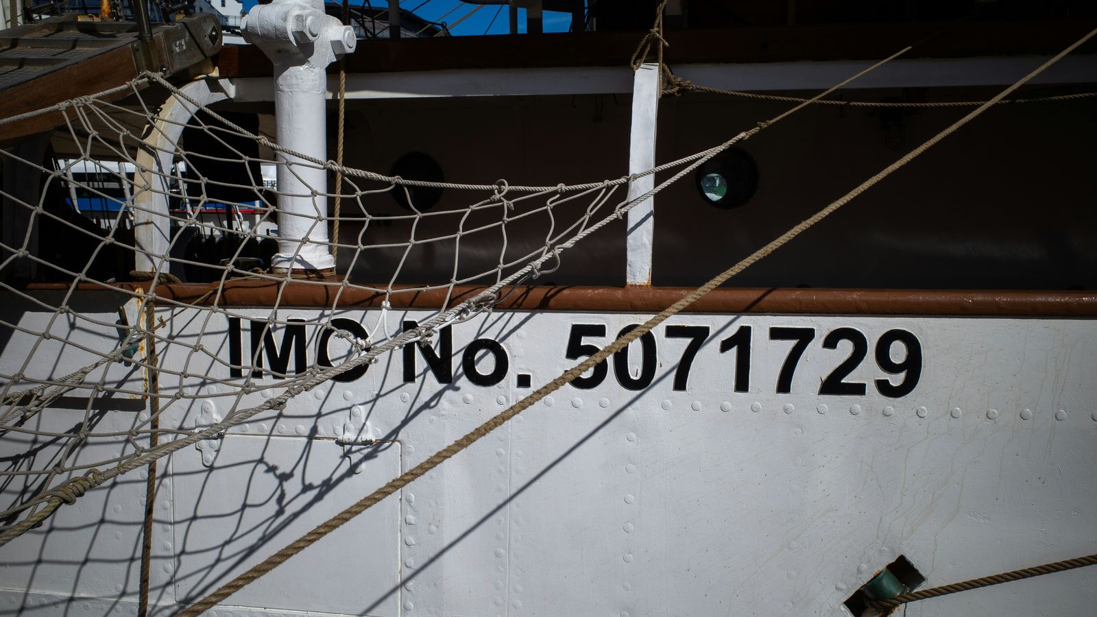
Photo: Gunnar Ridderström / Unsplash ·source · Unsplash License
In one lineThe first three digits of a ship's MMSI are its flag state — but only when the identity is a ship station in the first place.
A Maritime Mobile Service Identity is nine digits, and the digits are structured. Read them correctly and an MMSI tells you what kind of station is transmitting and, usually, under which flag it is registered. Read them carelessly and you will confidently attribute a Finnish navigation buoy to a shipping company.
The ordinary case: a ship station
For a vessel, the format is:
M I D x x x x x x
└─────┘ └───────┘
  flag   assigned by the
  state  administration
The first three digits are the Maritime Identification Digits, or MID, allocated by the ITU to a national administration. The remaining six are handed out by that administration to individual vessels.
The leading digit of the MID gives you the region at a glance:
| First digit | Region |
|---|---|
| 2 | Europe |
| 3 | North and Central America, the Caribbean, Greenland |
| 4 | Asia |
| 5 | Oceania and the Middle East |
| 6 | Africa |
| 7 | South America |
So 230 is Finland, 265 is Sweden, 276 is Estonia, 273 is Russia, 211 and 218 are Germany, 232–235 are the United Kingdom, 366–369 are the United States. A country with a large register gets several MIDs, which is why the UK and the US hold blocks rather than single numbers. Some MIDs belong to dependencies and territories rather than sovereign states — 204 is the Azores, 232 covers the UK including some overseas usage — so a MID identifies a registry, not always a country in the everyday sense.
We list every MID we know, and the vessels currently reporting under each one, on the flag state pages.
The prefixes that mean “not a ship”
This is where MMSI reading goes wrong. Several formats put the MID somewhere other than the first three digits, and blindly taking s[0:3] produces a nonsense flag. The ITU-defined special formats:
| Pattern | What is transmitting |
|---|---|
00MIDxxxx |
A coast station — a shore-based AIS base station, VTS centre or port authority |
0MIDxxxxx |
A group of ships — a fleet or convoy addressed together |
111MIDxxx |
A search-and-rescue aircraft, fixed wing or helicopter |
99MIDxxxx |
An aid to navigation — a buoy, beacon, lighthouse, or a virtual AtoN with no physical object at all |
98MIDxxxx |
A craft associated with a parent ship, such as a ship’s tender or lifeboat |
970xxxxxx |
An AIS-SART, the search-and-rescue locating device carried in survival craft |
972xxxxxx |
A man-overboard device |
974xxxxxx |
An EPIRB with an AIS transmitter |
8MIDxxxxx |
A handheld VHF with DSC and AIS, carried by a person rather than fitted to a hull |
On this site, flagFromMmsi refuses to return a flag for any of these, and the vessel page says what kind of station it is instead. A wrong flag on a page is worse than an honest “this is a coast station”.
The 970, 972 and 974 prefixes are worth recognising on sight. Those are distress and emergency devices. An AIS-SART transmitting is a life-raft, not a vessel — treat it accordingly if you ever see one on a live plot.
MMSI is not a permanent identity
The number a ship carries is the number its current flag administration issued. When a ship reflags — from Panama to Liberia, say — it is issued a new MMSI with the new MID, and its old number can eventually be reassigned. Two years of AIS history for “the same ship” may therefore sit under two different MMSIs, and one MMSI may cover two different ships across time.
The identifier that does not change is the IMO number: seven digits, assigned once to the hull for its life, surviving reflagging, renaming and resale. Where we have an IMO number we show it, because it is the only stable handle on a vessel. Not every vessel has one — the scheme covers most seagoing merchant ships of 100 GT and above, but not fishing vessels, yachts, or many small craft.
Quick checks you can run yourself
- Nine digits? If it is not exactly nine, it is not a valid MMSI. Leading zeros are significant and are often stripped by spreadsheets, which is a common source of bad data.
- Does the flag match the story? A ship reporting a Finnish MID in the Gulf of Finland is unremarkable. The same MID reported from the South China Sea deserves a second look — though see why ships go dark before concluding anything.
- Does the MMSI match the name? Both are transmitted by the same box, and both are configurable by whoever installed it. Agreement between them proves only that the configuration is internally consistent.
The MMSI is the key we use to join everything on this site: positions, static reports, tracks, flags. It is a good key. It is just not a passport.
Sources
Check these yourself. Where this page paraphrases a standard, the standard is what governs — not our wording.