Reference layer
What the data actually means
Anyone can show you a dot on a map. These explain what the dot is, where it came from, how often it lies, and what it cannot tell you. Written from the standards, with the sources listed at the bottom of every page.
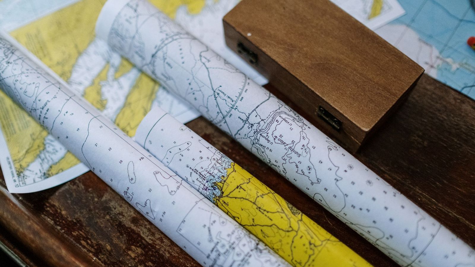
Photo: cottonbro studio / Pexels · source · Pexels License

How AIS actually works
AIS is a VHF radio broadcast, not a tracking service. Here is what a transponder sends, on which channels, how often, and why the signal stops at the horizon.
Takeaway Every dot on a live map is a ship voluntarily broadcasting its own position over VHF radio, and a receiver close enough to hear it.
Reading an MMSI: what the nine digits mean
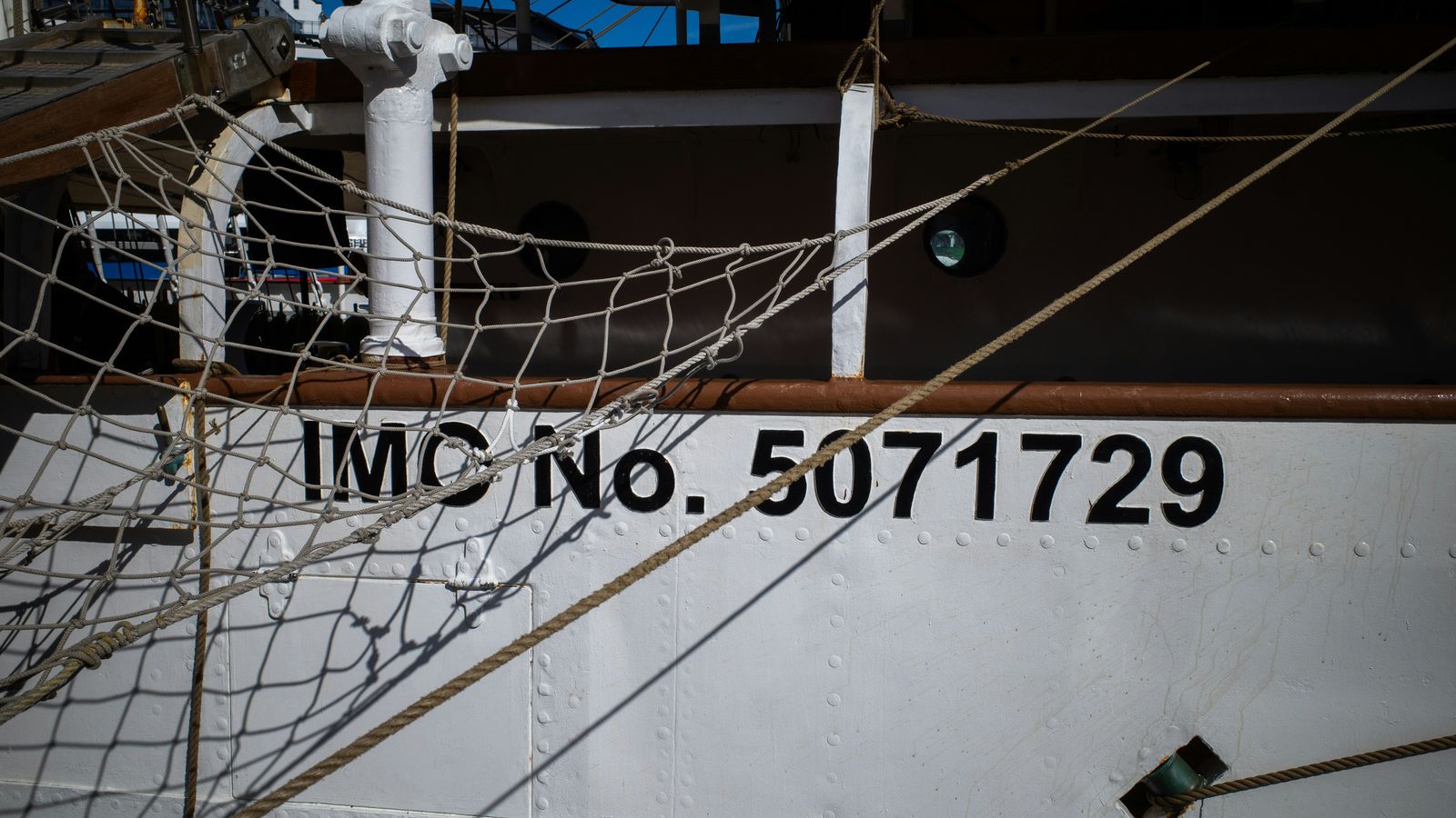
An MMSI is not a serial number. Its first digits tell you the flag state, and some prefixes mean the transmitter is not a ship at all. Here is how to read one.
Takeaway The first three digits of a ship's MMSI are its flag state — but only when the identity is a ship station in the first place.

AIS navigational status codes, all sixteen
The navigational status field is four bits, sixteen values, and set by hand on the bridge. Here is what each code means and how often it is simply wrong.
Takeaway Navigational status is a human-entered field, not a sensor reading — useful context, never evidence.

AIS ship type codes explained
The AIS ship-and-cargo type is a two-digit code with a decade structure and a cargo qualifier digit. Learn to read it and the categories on any vessel map stop being arbitrary.
Takeaway The first digit of an AIS ship type is the family; for most families the second digit says whether the ship is carrying dangerous goods.
Why ships "go dark" — and when it means something
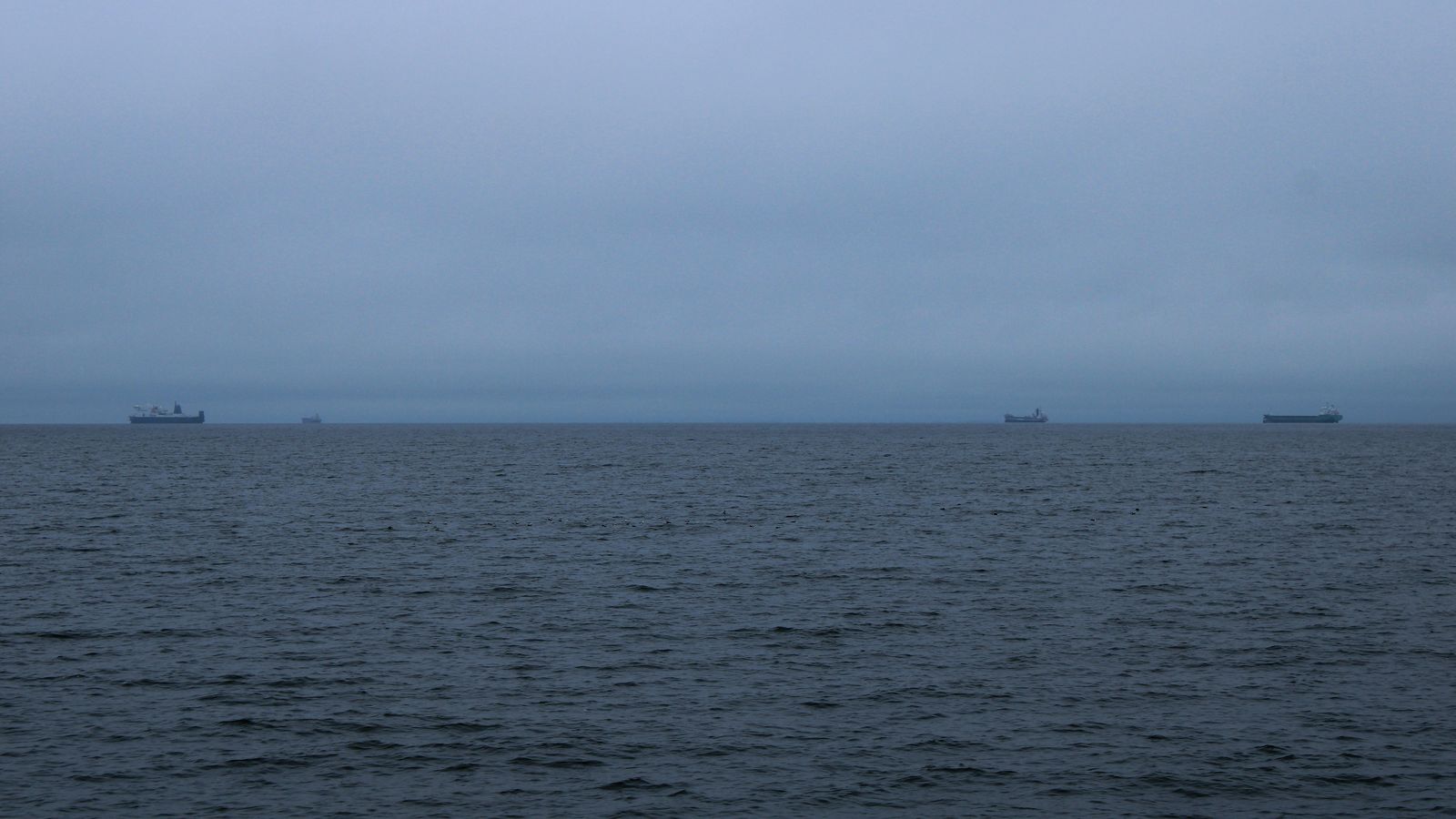
A vessel vanishing from a live map is usually radio range, not intent. Here are the ordinary explanations, the lawful ones, and the narrow set of cases that are genuine manipulation.
Takeaway Absence of AIS is weak evidence on its own; the base rate of boring explanations is very high.
AIS vs radar vs satellite tracking: what each can and cannot see
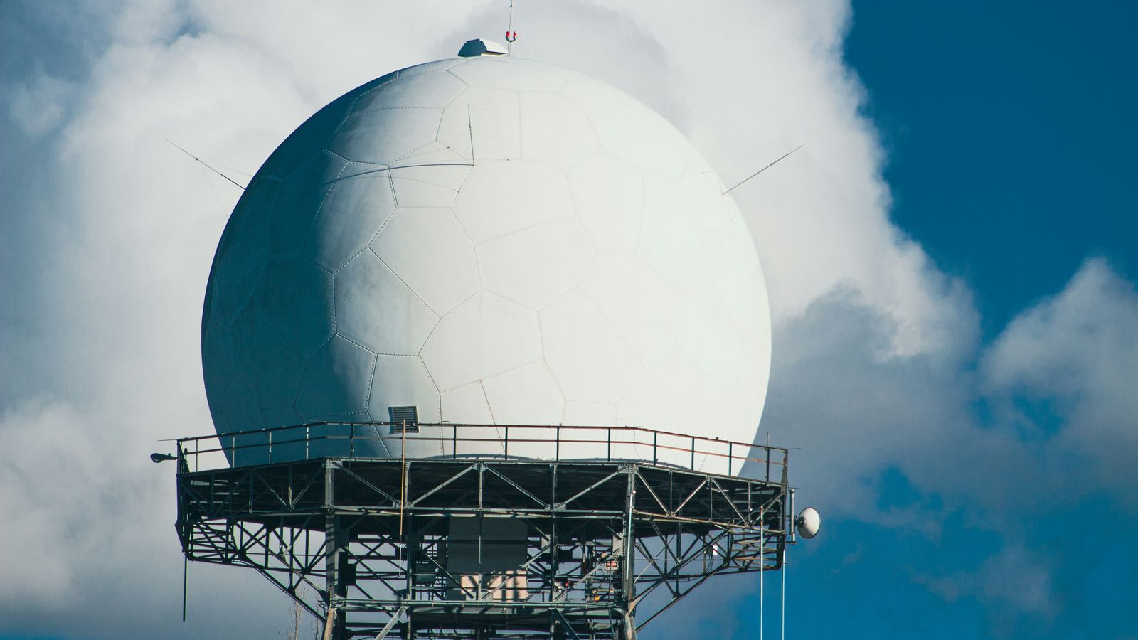
Three ways to find a ship, with three completely different blind spots. AIS asks, radar looks, satellites do both badly and brilliantly at once.
Takeaway AIS sees identity but only for cooperating ships; radar sees hulls but not names; satellites trade resolution and revisit rate for reach.