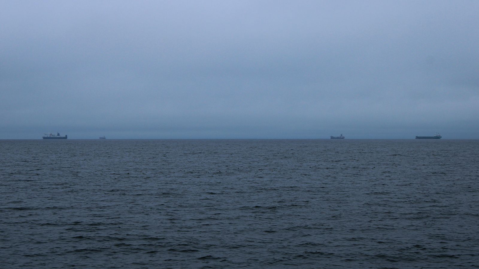
Why ships "go dark" — and when it means something
A vessel vanishing from a live map is usually radio range, not intent. Here are the ordinary explanations, the lawful ones, and the narrow set of cases that are genuine manipulation.
Photo: Mariia Filonenko / Unsplash ·source · Unsplash License
In one lineAbsence of AIS is weak evidence on its own; the base rate of boring explanations is very high.
“The ship went dark” is one of the most over-read phrases in maritime reporting. Sometimes it describes a deliberate act with real consequences. Far more often it describes a boat that sailed past the last receiver on the coast.
Getting the base rates right matters, so start with the boring explanations, because they account for the overwhelming majority of disappearances on any terrestrial AIS map.
The ordinary reasons a ship disappears
It sailed out of range. This is the big one. AIS is VHF and stops at the radio horizon — roughly 20 to 40 nautical miles ship-to-shore, occasionally more from a high mast. A terrestrial network like the one feeding this site sees a coastal band, wherever in the world its receivers happen to be. A ship crossing the middle of an ocean — or a coast with no receiver on it — may simply be beyond every station. Nothing has happened.
Nobody was listening. Coverage is not uniform. Receivers have outages, shore power fails, an aggregator’s ingestion pipeline stalls. A gap in our data is a statement about our data, not about the ship. That is why every position on this site carries its source and its age, and why the map says “live feed unavailable” instead of showing an empty sea.
Slot congestion. In a busy approach, hundreds of transponders compete for 2,250 slots a minute on each channel. Class B stations, which transmit only when they sense a free slot, lose that competition first. Small craft thinning out in a crowded harbour is a property of the protocol, not of the boats.
The equipment failed. Transponders break. Antennas corrode, connectors flood, GNSS receivers lose lock. A ship with a dead transponder often does not know it is dark until someone tells it.
It is in port, or in the yard. A vessel alongside for a month with the switchboard down transmits nothing. So does one in dry dock.
Weather and propagation. Heavy sea state, unusual atmospheric conditions and interference all change what a receiver hears from hour to hour.
The provider filtered it. Feeds are curated. The Finnish open feed we use as a fallback, for instance, excludes fishing vessels at source. Those ships are transmitting; we are simply not given them.
The lawful reason to switch it off
SOLAS Chapter V, Regulation 19 requires AIS to be in continuous operation — with an explicit exception. Where international agreements, rules or standards provide for the protection of navigational information, or where the master judges that continued operation might compromise the safety or security of the ship, AIS may be switched off.
That exception is what naval and law-enforcement vessels rely on routinely. It is also the accepted basis for merchant ships to go silent transiting high-risk piracy areas, where a broadcast position is an invitation. The master is expected to record the decision and the reason in the log, and to switch AIS back on as soon as the source of danger has passed.
So a merchant ship going quiet in a piracy corridor is not an anomaly. It is the regulation working as written.
The narrow set of cases that are manipulation
Against that background, there is a real and documented practice of using AIS deceptively. The 2020 joint advisory from the US Departments of State and the Treasury and the US Coast Guard sets out the recognised patterns, aimed principally at sanctions evasion:
Switching off around a transfer. A tanker’s track ends, resumes hours or days later at a different draught, with no port call in between. The gap is where a ship-to-ship transfer happened. The signature is the pattern — repeated, correlated with cargo changes — not any single gap.
Spoofing the transmitted position. The transponder is fed, or configured with, coordinates that are not where the ship is. Tracks that jump implausibly, or vessels apparently steaming across land, are the crude version. The careful version looks plausible and is much harder to spot from AIS alone.
GNSS interference. Distinct from spoofing by the ship itself: jamming or spoofing of the satellite navigation signal in an area affects every receiver there. This has been documented repeatedly — the US Maritime Administration issued an advisory after vessels in the Black Sea reported positions tens of kilometres inland in 2017, and researchers have reported similar circular-track anomalies near several ports since. When a whole cluster of unrelated ships shows the same impossible position, suspect the environment, not the ships.
Identity manipulation. Transmitting another vessel’s MMSI or IMO number, or the identity of a scrapped ship, to launder a voyage history. Because MMSI and name are configuration values in a box on the bridge, nothing in the protocol prevents this.
Broadcasting a false destination or draught. The cheapest deception available, since those fields are free text and numbers typed by hand.
How to reason about a gap responsibly
If you are looking at a disappearance and want to know what it means:
- Check the receiver picture first. Was the ship inside the coverage of a working receiver at the time? On a coastal feed, most gaps fail this test immediately.
- Check whether neighbours also vanished. If every vessel in a 30 NM box stopped reporting at the same minute, that is an outage. If one did, that is more interesting.
- Look for the pattern, not the instance. One gap is noise. Repeated gaps in the same waters, correlated with draught changes, are a pattern worth describing.
- Check for a lawful explanation. Piracy corridor, naval vessel, ship in yard, known filtered category.
- Say what you actually know. “This vessel stopped appearing in the Digitraffic feed at 14:22 UTC on 3 May” is a fact. “This vessel went dark to conceal a transfer” is a conclusion that needs more than AIS.
The honest framing is that AIS absence is weak evidence with a very high base rate of innocent causes. Investigators treat it as one signal among several — satellite radar imagery, port call records, cargo documentation, ownership structures — precisely because on its own it proves so little.
We are a vessel map, not an investigation service. What we can do is be exact about what we saw and when we saw it, so a gap in our data is never mistaken for a gap in the world.
Frequently asked questions
Why do ships disappear from tracking sites?
Usually because they sailed past the last receiver in range. AIS is VHF radio and stops at the radio horizon — roughly 20 to 40 nautical miles from shore. A terrestrial network like the one feeding this site covers a coastal band, not an ocean. A vessel heading offshore crosses that boundary and stops appearing. Nothing has happened to the ship; it has left coverage. How AIS works has the full explanation of VHF propagation and range.
What does it mean when a ship “goes dark”?
In maritime reporting the phrase usually means a vessel stopped appearing on AIS. The implication of intent is rarely warranted. Equipment failure, a network outage in the tracking feed, slot congestion in a busy approach, and loss of range all produce the same blank on the map. Deliberate deactivation is a real practice, but it accounts for a small fraction of all observed gaps.
Can you track a ship mid-ocean?
Not on a terrestrial AIS network. VHF signals travel line-of-sight and cannot reach a shore station more than roughly 40 to 60 NM away. There is no relay and no fallback. Satellite AIS can cover open water, but it is a different system with different limitations — see AIS vs radar vs satellite tracking for a comparison of what each method can and cannot show.
Is it legal to turn off AIS?
SOLAS Chapter V, Regulation 19 requires AIS to operate continuously, but includes an explicit exception: a master may switch it off when continued operation might compromise the safety or security of the ship. This covers vessels transiting piracy corridors and naval or law-enforcement ships, which routinely operate without broadcasting. The master is expected to log the reason and restore AIS when the risk has passed.
How can you tell if a ship went dark deliberately?
Rarely from a single gap. Investigators look for a pattern: repeated disappearances in the same waters, gaps that coincide with unexplained draught changes — consistent with a cargo transfer at sea — or a vessel reappearing with a changed identity. A single gap has too high a base rate of ordinary causes. Confirmation requires cross-referencing satellite radar imagery, port call records, and cargo documentation alongside the AIS trace.
Related equipment
See the hardware in context
These named products perform roles described in this guide. The notes are specification-based, not claims of hands-on testing.
Shakespeare
8 ft · 6 dB gain
5101 VHF antenna
A widely used eight-foot fibreglass marine VHF antenna for powerboat installations.
Check price & availability for Shakespeare 5101 eight-foot VHF antenna on Amazonem-trak
Transmit + receive · 5 W SOTDMA
B951 AIS transceiver
A compact Class B unit with 5 W SOTDMA, internal GPS, NMEA 0183 and NMEA 2000.
Check price & availability for em-trak B951 Class B AIS transceiver on Amazon
As an Amazon Associate, MarineActivity earns from qualifying purchases. Amazon is the seller; we do not set prices, hold stock or fulfil orders. Prices and availability can change.
See all field notes and equipmentSources
Check these yourself. Where this page paraphrases a standard, the standard is what governs — not our wording.