Marine radar basics: range, target tracking and choosing a set
How an onboard marine radar makes its picture, why range depends on antenna height and target size, what ARPA does, and what to check before choosing a scanner.
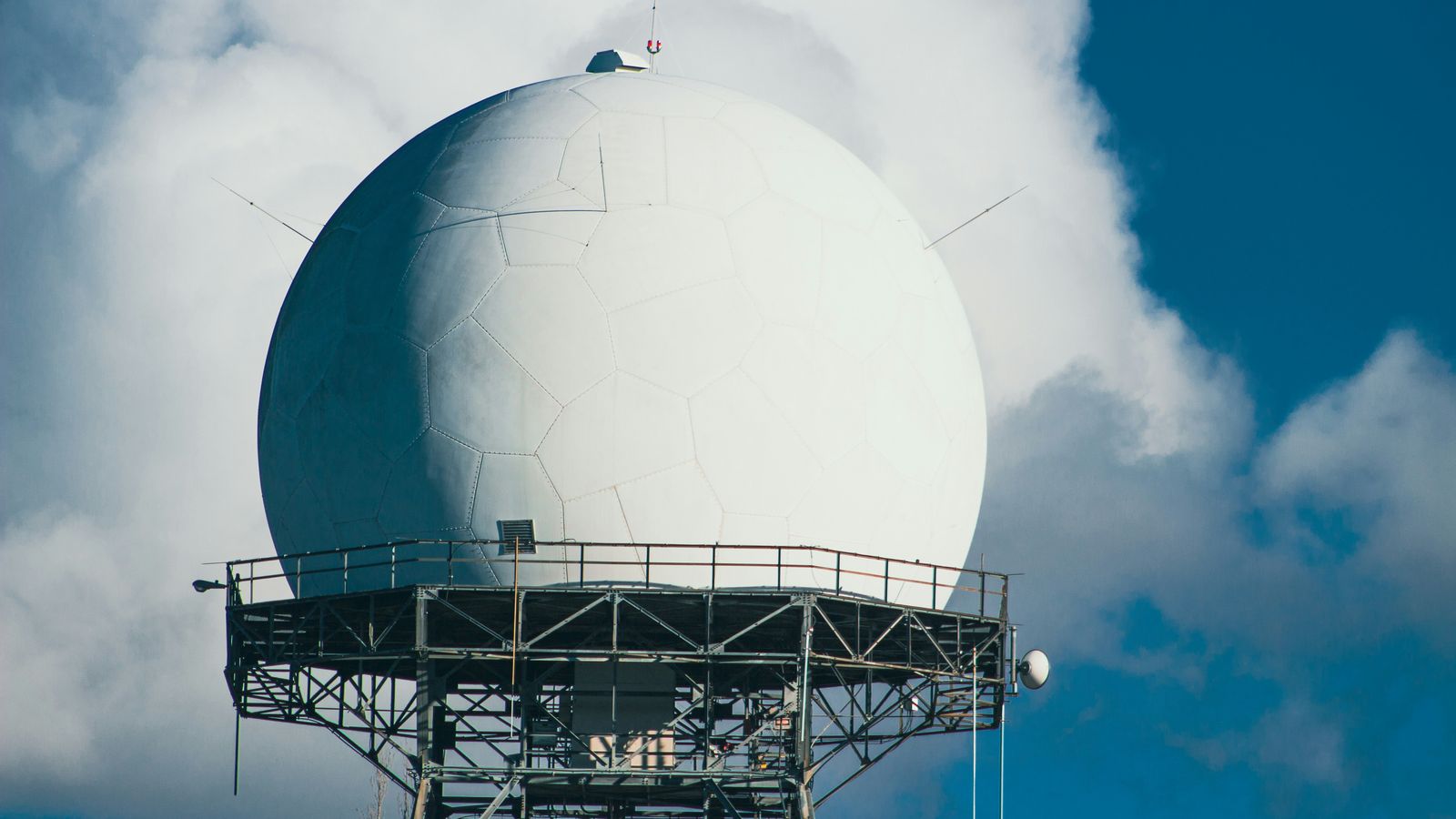
Photo: Robin Wilde / Unsplash ·source · Unsplash License
In one lineRadar detects echoes from nearby objects whether or not they transmit AIS, but its useful range and tracking depend on the installation, conditions and target.
A marine radar sends out radio energy and listens for echoes. It can show a buoy, coast, rain squall or boat that sends no Automatic Identification System (AIS) message. That is the reason to consider radar alongside AIS, not as another way to read the same broadcasts. For the broader comparison, see AIS, radar and satellite tracking.
Not for navigation. This site’s shore-received AIS positions may be delayed, incomplete or absent and must not be used for navigation or collision avoidance. We do not supply radar data. An onboard radar has its own blind spots; learn its controls and use a proper lookout, current charts and the procedures required for your voyage.
How the picture is made
The scanner rotates, sends a pulse or a coded transmission, and measures the returning signal. The delay gives range, or distance from the scanner. The direction the antenna points gives bearing. A bright patch is an echo, not a label identifying a ship. Shoreline, a large steel hull, a buoy and rain can all appear, while a small low hull can be hard to pick out.
The display’s gain controls sensitivity. Sea clutter and rain clutter controls suppress unwanted echoes from waves and precipitation. Too much suppression can remove a weak target as well. A display may overlay echoes on a chart and add AIS symbols, but the chart, AIS reports and radar returns come from different sources. Compare them deliberately rather than assuming a symbol and an echo are the same object.
Range scale is not detection range
A range setting such as 3 or 12 nautical miles (NM) tells you how much water the screen covers. It does not mean every target within that circle will be detected. The antenna and the target both need to be high enough for a clear radio path over the Earth’s curvature. Raising the scanner can extend that horizon, while a tall ship can appear farther away than a low dinghy. Land, masts and structures can also block sectors around the boat.
Echo strength depends on the target’s size, shape and material, and on weather and sea state. Small fibreglass or wooden craft may give weak returns; a fitted radar reflector can improve their visibility but is no guarantee. Check short and longer range scales as conditions change. A long scale can compress nearby targets together, and a short scale hides distant ones. The IMO performance standard lists range scales from 0.25 to 24 NM for compliant shipborne equipment; those are display settings, not promised sighting distances.
What target tracking adds
A raw radar echo gives a position at one sweep. ARPA, an automatic radar plotting aid, follows selected echoes across sweeps to estimate their movement. It can calculate closest point of approach (CPA), the predicted minimum separation if courses and speeds continue, and time to CPA (TCPA). Commercial systems use ARPA or other radar target tracking under applicable equipment standards. Smaller-boat plotters may call their version MARPA, or mini-ARPA; some require you to select each target, and a heading sensor may be needed for the advertised functions.
These are estimates. A target can turn, merge with another echo, disappear in clutter or be tracked incorrectly. A heading or position input fault can spoil the calculation. Check the model’s tracking capacity, acquisition method, lost-target indication and required sensors. Neither ARPA nor MARPA supplies a vessel’s name: an AIS label is a separate report. Chartplotters explained covers how those layers reach a display.
Small-boat and commercial systems
On a small boat, a compact enclosed radome is easier to place and protect. A longer open-array antenna generally has a narrower horizontal beam, so two nearby echoes can be separated more clearly, but it needs more mounting space and clearance. Scanners also differ in power draw, startup behaviour, short-range detail and whether they use a magnetron or solid-state transmitter. Those labels alone do not tell you what a specific installation will detect.
Commercial bridge radar is built around different display, target-tracking and integration requirements. The IMO radar performance standard specifies measurements, range scales and target presentation for the equipment to which it applies. A recreational chartplotter with a radar overlay should not be treated as an IMO-compliant bridge installation merely because it shows the same kind of echoes. Check the rules for the vessel and voyage with the relevant authority and the equipment’s approval documents.
A buying and installation check
- Start with the display. Confirm that the exact scanner works with your plotter or dedicated radar display. “Radar capable” on a plotter does not mean a scanner is included. The equipment notes list a chartplotter example, not a complete radar system.
- Plan the mount. Check antenna height, clear rotation and sight lines, blind sectors, cable route, structure strength and the maker’s clearance instructions for people and other antennas.
- Count the whole system. Include the scanner, display, required network parts, power supply, mounting hardware and any heading sensor needed for target tracking or overlay alignment.
- Try the controls. Find the gain, sea and rain clutter settings, range scale, bearing and range measurement tools, trails, alarms and lost-target warnings in the exact model’s manual.
- Check the limits. Compare the published specifications and approval status for the intended vessel. Do not infer a detection distance from the maximum range printed on a box.
Common questions
Will radar show a boat that has no AIS?
It can, because the boat may return an echo without transmitting anything. A weak or obscured target can still be missed.
Does a 48 NM range mean it can see a small boat 48 NM away?
No. That number can describe the display scale. The radar horizon, target height and reflectivity, weather and clutter determine whether an echo appears.
What is the difference between ARPA and MARPA?
Both track echoes over time and estimate motion. MARPA is a smaller-boat implementation with model-specific limits; check whether acquisition is manual or automatic and which heading inputs it needs.
Can a chartplotter display radar without a radar scanner?
No. The plotter needs a compatible scanner and its required connections. A chartplotter that displays AIS targets does not thereby contain radar.
Sources
Check these yourself. Where this page paraphrases a standard, the standard is what governs — not our wording.