AIS vs radar vs satellite tracking: what each can and cannot see
Three ways to find a ship, with three completely different blind spots. AIS asks, radar looks, satellites do both badly and brilliantly at once.
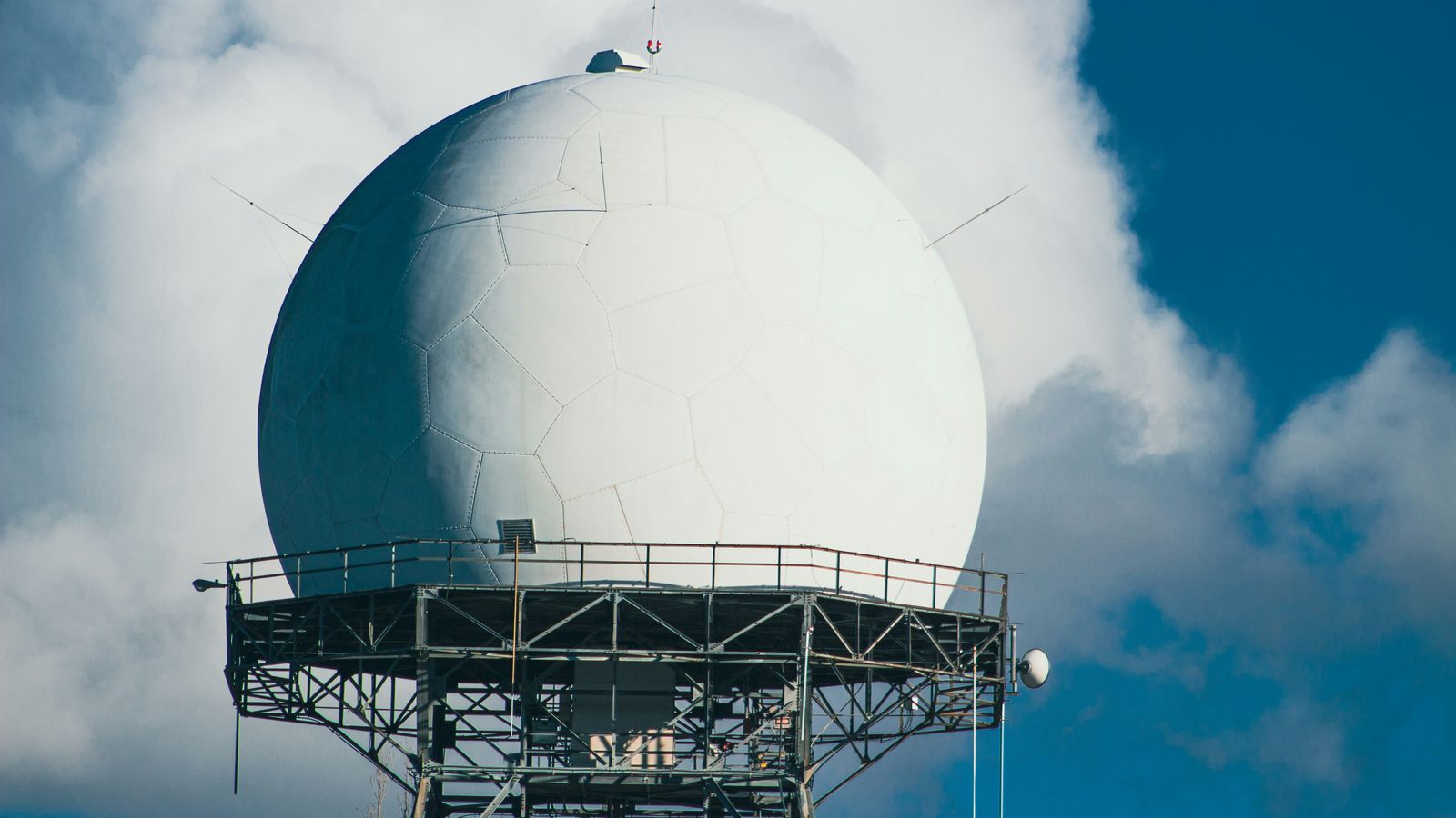
Photo: Robin Wilde / Unsplash ·source · Unsplash License
In one lineAIS sees identity but only for cooperating ships; radar sees hulls but not names; satellites trade resolution and revisit rate for reach.
Three technologies get described as “ship tracking” and they work on completely different principles. Knowing which one produced a given picture tells you what that picture can and cannot support.
AIS: cooperative, identified, line-of-sight
AIS is a cooperative system. The vessel broadcasts its own identity and position over VHF; a receiver within radio range hears it. That design has one enormous advantage and one enormous limitation.
The advantage is identity. AIS is the only one of the three that tells you the ship’s name, MMSI, IMO number, dimensions, declared type, destination and draught. Radar cannot do that. Neither can most satellite imagery. When you want to know which ship, AIS is the answer.
The limitation is that it only sees ships that choose to be seen, and only from close enough to hear them.
AIS can see: any vessel with a working, powered transponder within roughly 20–40 NM of a receiver — its identity, position, speed, course, heading and declared voyage data.
AIS cannot see: vessels with no transponder fitted (small craft, most fishing boats worldwide, most naval vessels), vessels with theirs switched off or broken, anything beyond the radio horizon, and — since the data is self-reported — it cannot verify that what it is told is true.
Radar: non-cooperative, anonymous, horizon-limited
Radar transmits a pulse and measures what bounces back. It does not care whether the target wants to be found, which makes it non-cooperative. A ship with no AIS, no lights and no intention of being seen still returns an echo.
What comes back is a contact: range, bearing, and with tracking, course and speed. What does not come back is a name. Correlating a radar contact with an AIS target is a routine bridge task and a routine source of error, and where the two disagree, the radar is describing something physically present while AIS is describing something reported.
Radar can see: any target with sufficient radar cross-section within its range — steel hulls, containers, land, buoys, heavy rain — regardless of cooperation.
Radar cannot see: identity. Also poor at: small glass-reinforced-plastic and wooden hulls with little cross-section, targets lost in sea clutter close in or in heavy swell, anything in the shadow of land or another vessel, and anything beyond its own horizon — which for a ship’s radar is a similar order of distance to AIS, since both are limited by antenna height. A radar reflector or a radar target enhancer exists precisely because small craft are otherwise hard to detect.
Shore-based coastal surveillance radar extends the picture along a coastline, but it is still a horizon-limited, coast-anchored sensor.
Satellite AIS: enormous reach, ugly failure mode
Satellite AIS puts a VHF receiver in low Earth orbit. It hears the same messages a shore station would, from a footprint thousands of kilometres across. That solves the ocean gap that terrestrial AIS cannot.
It also creates a problem that is intrinsic to the design. AIS’s slot-sharing scheme assumes a local group of stations coordinating within radio range of each other. A satellite hears thousands of ships that are far outside each other’s range and are therefore reusing the same slots quite legitimately. Those transmissions collide at the receiver. In dense shipping regions, satellite AIS detection probability drops sharply for exactly this reason, and the ships most likely to be lost are Class B and the ones in the busiest water.
Message 27 exists to help: a short, low-rate long-range position report designed to be transmitted for satellite reception. It carries less data at lower precision, deliberately.
The other constraint is revisit time. A satellite is over a given patch of ocean for a few minutes per pass. Coverage of a specific ship is a series of snapshots hours apart, not a continuous track. Constellations narrow the gaps; they do not close them.
Satellite AIS can see: cooperating vessels anywhere, including mid-ocean, with global reach no terrestrial network can match.
Satellite AIS cannot see: non-transmitting vessels; and it is unreliable exactly where traffic is dense. It is a poor substitute for a coastal network in coastal water.
Satellite radar and optical imagery
The fourth thing usually lumped in with “satellite tracking” is imagery, and it is a different beast again.
Synthetic aperture radar satellites — Sentinel-1 is the well-known open-data example — actively illuminate the sea and detect hulls as bright returns against dark water. They work through cloud and at night, and they are non-cooperative: a ship with its AIS off still shows up as a bright dot. Comparing SAR detections against AIS tracks is the standard method for finding vessels that are present but not transmitting. What SAR cannot give you is identity, and it inherits the revisit-time problem.
Optical imagery gives you a picture a human can interpret — hull colour, deck layout, whether a transfer is under way alongside — at the price of needing daylight and clear skies, and of even sparser revisit.
Side by side
| Terrestrial AIS | Radar | Satellite AIS | Satellite SAR | |
|---|---|---|---|---|
| Cooperative? | Yes | No | Yes | No |
| Gives identity | Yes | No | Yes | No |
| Range | ~20–40 NM from receiver | To the horizon | Global | Global |
| Continuous | Yes, seconds to minutes | Yes | No, per-pass | No, per-pass |
| Sees non-transmitters | No | Yes | No | Yes |
| Verifies what it is told | No | N/A | No | N/A |
What this site is, in those terms
MarineActivity runs on terrestrial AIS only, from open feeds fed by a worldwide network of shore-based receivers. The reach is global; the coverage is not. It is dense around Europe, North America and East Asia, thin along coasts nobody is listening from, and effectively absent in mid-ocean. We have no satellite AIS, no radar, and no imagery, and we are not going to pretend otherwise.
That means: within the coverage band we can tell you a great deal about who a ship says it is and where it says it is, with a source and an age attached to every number. Outside it, we show you nothing, and we say we are showing you nothing rather than dressing an empty map up as an empty sea.
If you need global blue-water coverage, you need licensed satellite AIS, and you will pay for it. If you need to know about ships that are not transmitting, you need radar or imagery, and AIS of any kind will never tell you.
Related equipment
See the hardware in context
These named products perform roles described in this guide. The notes are specification-based, not claims of hands-on testing.
Garmin
7-inch multifunction display
GPSMAP 743xsv
A networked chartplotter that can place AIS targets alongside chart, sonar and radar data.
Check price & availability for Garmin GPSMAP 743xsv chartplotter on AmazonACR
406 MHz PLB · GPS/Galileo
ResQLink 400 PLB
A compact registered personal beacon that alerts the satellite search-and-rescue system.
Check price & availability for ACR ResQLink 400 personal locator beacon on AmazonSimon & Schuster
Hardcover · fourth edition
Annapolis Book of Seamanship
John Rousmaniere’s illustrated reference to sailing, navigation, weather, safety and boat systems.
Check price & availability for The Annapolis Book of Seamanship, fourth edition on Amazon
As an Amazon Associate, MarineActivity earns from qualifying purchases. Amazon is the seller; we do not set prices, hold stock or fulfil orders. Prices and availability can change.
See all field notes and equipmentSources
Check these yourself. Where this page paraphrases a standard, the standard is what governs — not our wording.