Why AIS coverage is uneven — and what it means when a ship disappears from the map
A vessel that vanishes mid-Atlantic has not gone dark. It has gone out of radio range. Here is how shore-based AIS coverage works, where it is dense, and where it fails entirely.
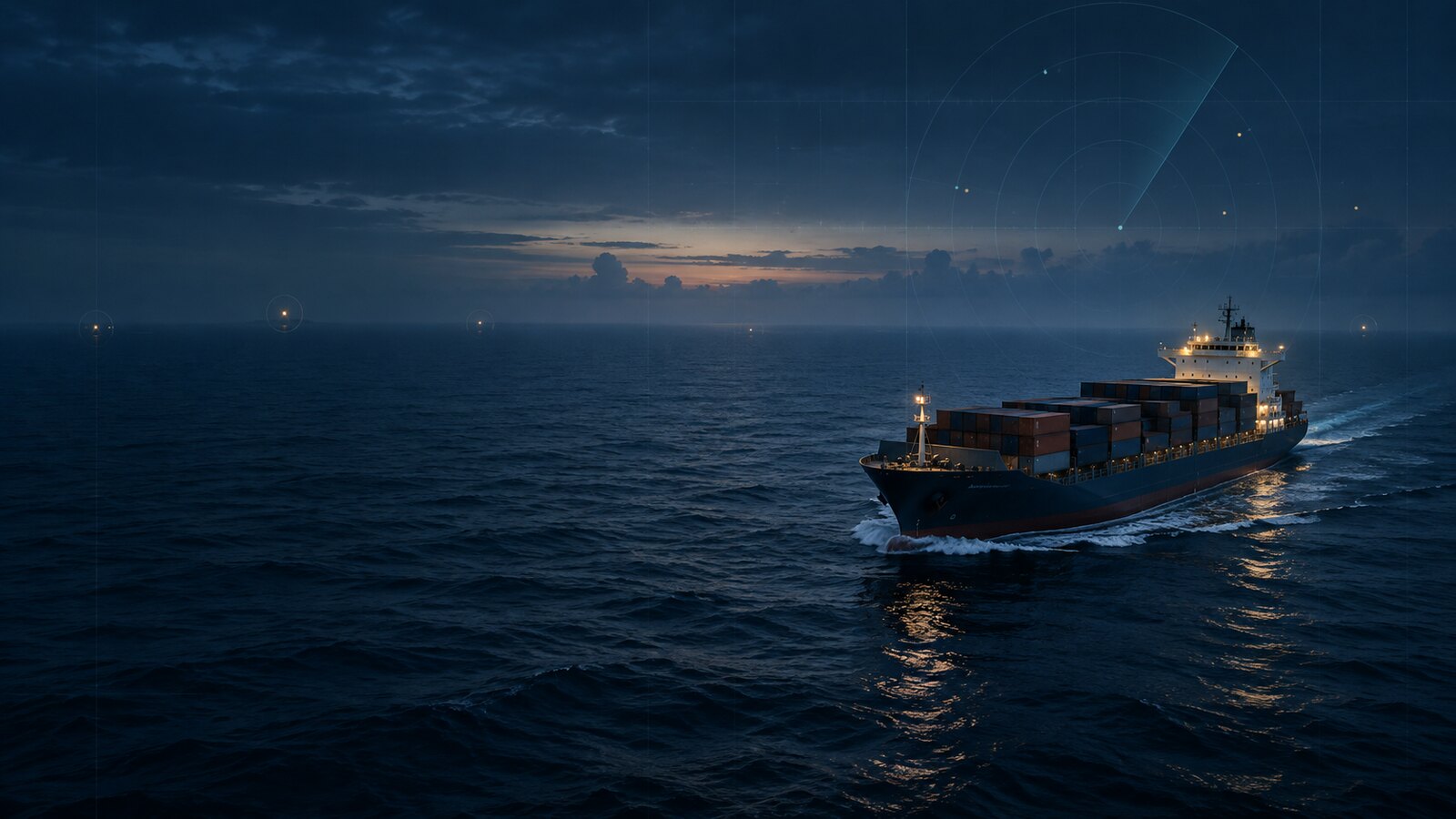
Photo: MarineActivity art direction / OpenAI ·source · Original generated artwork
In one lineCoverage follows the receiver network, not the ocean. A missing ship is almost always a missing receiver.
The question this site hears most often: a reader watches a container ship cross the North Sea, follows the dot through the Channel, then loses it somewhere off Brest. Did the ship turn off its transponder? Did something happen?
Neither. The ship sailed past the last receiver that could hear it, and the map fell silent the way a radio does when you drive out of range. How AIS works explains the VHF physics in full; this guide explains what that means for coverage across a global map.
Why a receiver cannot hear mid-ocean ships
AIS transmits on two VHF channels: 161.975 MHz (Channel 87B) and 162.025 MHz (Channel 88B). VHF is line-of-sight. The signal does not follow the earth’s curve, cannot bounce off the ionosphere the way HF radio can, and has no relay infrastructure at sea.
The usable range between a ship and a shore receiver is approximately:
d (NM) ≈ 2.23 × (√h₁ + √h₂), with antenna heights in metres.
A vessel antenna at 20 m above the waterline and a coastal station at 50 m gives roughly 26 NM. Move the station to a 100 m headland and that extends to about 32 NM. Atmospheric ducting can push signals further on good days, but 40 to 60 NM is the practical ceiling for reliable coverage from a single station.
Put a ship in the middle of the North Atlantic — roughly 1,500 NM from the nearest coast — and no shore receiver is within that range. The transponder is broadcasting every few seconds. Nobody is listening.
The same geometry governs the boat end: AIS antennas and splitters shows how antenna height and cable loss change what a small craft can be heard at.
Where coverage is dense
Coverage is dense where shore-based receivers are installed and maintained. Those tend to follow commercial shipping lanes and well-funded port authorities.
The areas with the most consistent coverage:
- North Sea and English Channel
- Baltic Sea
- Mediterranean, particularly the western basin and Adriatic
- US East Coast and Gulf of Mexico
- Japan and South Korea
- Singapore Strait and Malacca Strait
In those regions, ships rarely move more than 20 to 30 NM from a working station. Tracks appear continuous, with gaps only in fjords or inlets where terrain blocks the signal.
Where coverage is thin or absent
Coverage thins where commercial traffic is light or receiver networks are sparse:
- Mid-Atlantic and mid-Pacific: no stations, no coverage
- Southern Ocean south of about 50°S: almost nothing
- Much of the West African coast
- Inland waterways in parts of South America
“Thin” means a ship might appear as it passes close to a port and vanish again once it clears the harbour approaches. You see fragments, not a continuous track.
The satellite AIS distinction
Satellite AIS exists to close the mid-ocean gap. A satellite in low earth orbit can hear VHF transmissions from ships far below and relay them to a ground station. Commercial services aggregate this data, and some data providers license and sell it.
This site does not use satellite AIS. That is a deliberate consequence of running on open, free feeds (AISStream.io, Digitraffic, Kystverket, Danish Maritime Authority), all of which are terrestrial. If you need open-ocean tracks, you need a service with satellite data. This site will say so on the map rather than pretend the gap does not exist.
How to read the “last received” timestamp
Every vessel page on this site shows a “last received” timestamp next to the position. That timestamp records when a shore receiver last decoded a broadcast from that vessel. It is not when the ship last transmitted.
A vessel in open ocean transmits its position every few seconds under the AIS standard. If the timestamp says 18 hours ago, the ship has been outside receiver range for 18 hours. It is still broadcasting. The map cannot hear it.
When coverage resumes (the vessel approaches a coast with receivers, or a new station comes online), the position updates. The timestamp jumps forward, the position moves, and the track continues.
What to check when a ship disappears
If you are watching a vessel and it stops updating:
- Check the timestamp. Hours of silence usually means the ship crossed a coverage boundary. Days can mean the vessel is in port with the switchboard off, or the transponder has failed.
- Check the last known position. Was it heading offshore? A departure course toward open ocean almost always ends in a coverage loss, not an incident.
- Check the ship type. Fishing vessels are often filtered out of feeds at source. Small craft on Class B transponders update infrequently and yield to Class A in congested water. A fishing boat missing for 12 hours is usually a data gap, not an event.
Why ships go dark covers the narrower cases: deliberate deactivation, equipment failure, and position spoofing.
When coverage comes back, see where vessels are on the live map.
Frequently asked questions
Why can’t I see ships in the middle of the ocean on AIS?
Terrestrial AIS relies on shore-based VHF receivers. The usable range is roughly 40 to 60 nautical miles from a coastal station. Mid-ocean ships transmit continuously, but no receiver is close enough to pick them up. Satellite AIS can close that gap, but it is a separate system this site does not use.
Where does AIS coverage work best?
Coverage is densest where receiver networks are most developed: the North Sea, English Channel, Baltic Sea, Mediterranean, US East and Gulf coasts, Japan, South Korea, and the Singapore Strait. In those areas, ships rarely go more than 20 to 30 NM from a working receiver.
What does the “last received” timestamp on a vessel page mean?
It is when a shore receiver last heard that vessel broadcast an AIS message. It is not when the vessel last transmitted. A ship beyond receiver range is still transmitting every few seconds; nobody is receiving it. The timestamp tells you the last moment we had coverage, not the last moment the ship was active.
What is the difference between terrestrial AIS and satellite AIS?
Terrestrial AIS uses shore-based VHF receivers with a line-of-sight range of roughly 40 to 60 NM. Satellite AIS puts receivers in orbit, which can hear ships on open ocean where no shore station exists. Satellite AIS requires licensing and access to commercial feeds. This site uses only terrestrial sources.
Why do ships disappear from the map mid-voyage?
In almost all cases, the ship has moved beyond the radio horizon of the nearest shore receiver. The coverage boundary does not follow an obvious coastline; it follows where receivers happen to be installed. A vessel can vanish close to land if no receiver is sited to hear it in that direction.
Related equipment
See the hardware in context
These named products perform roles described in this guide. The notes are specification-based, not claims of hands-on testing.
Shakespeare
8 ft · 6 dB gain
5101 VHF antenna
A widely used eight-foot fibreglass marine VHF antenna for powerboat installations.
Check price & availability for Shakespeare 5101 eight-foot VHF antenna on AmazonQuark-elec
Receive only · dual channel
QK-A026 AIS receiver
A dual-channel AIS receiver with GPS and USB, Wi-Fi and NMEA 0183 output.
Check price & availability for Quark-elec QK-A026 wireless AIS + GPS receiver on Amazon
As an Amazon Associate, MarineActivity earns from qualifying purchases. Amazon is the seller; we do not set prices, hold stock or fulfil orders. Prices and availability can change.
See all field notes and equipmentSources
Check these yourself. Where this page paraphrases a standard, the standard is what governs — not our wording.